Tokyo to Fukui by E-Bike, Day 1: Tokyo to Gunma on the Green Healthy Road
The first day of riding from Tokyo to Fukui was 125 kilometers of almost perfectly flat ground, most of it beside a canal that was dug for the shogun nearly three hundred years ago. There were cosmos, countless rice fields, and a lot of very brave grasshoppers. My ever-so-helpful route app, Komoot, tried its best to get me lost in the dark, just three kilometers from a bed.
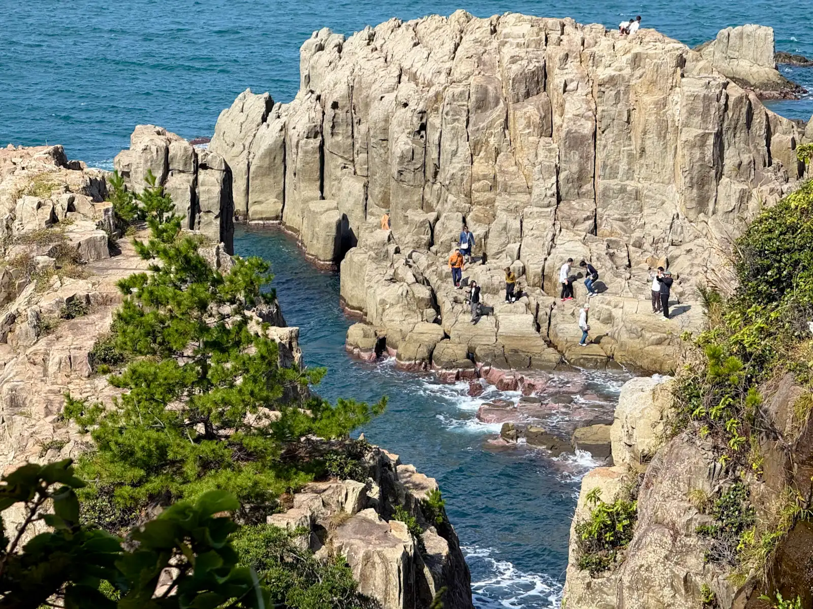
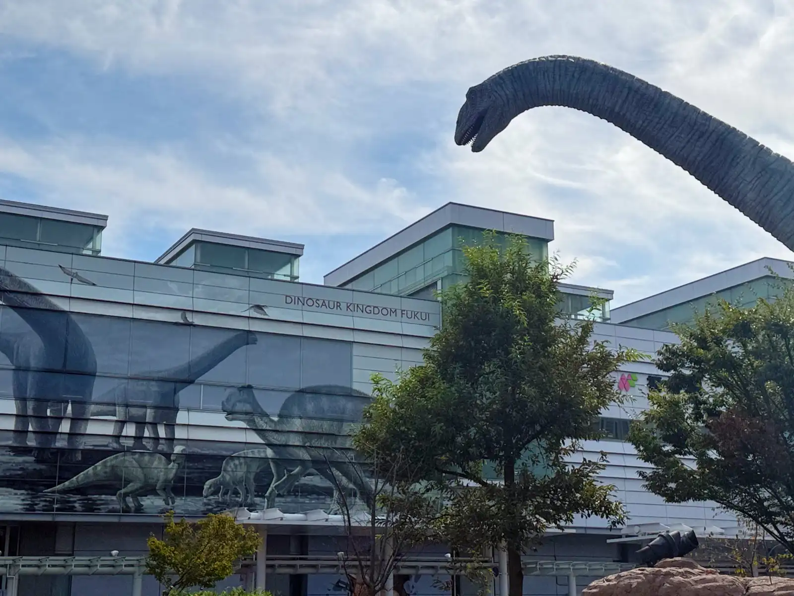
Sayonara, dinosaurs, see you again! I took one last look back at the robot dinosaurs in front of Fukui Station, then pushed off and started the long ride back. Fukui likes to call itself the Dinosaur Kingdom, and it really has earned the name. Digs around the town of Katsuyama have turned up so many fossils that several new species were named after the prefecture, like Fukuiraptor, Fukuisaurus and Fukuititan, and the prefectural dinosaur museum there is often listed as one of the three great dinosaur museums of the world. But Fukui turned out to be a lot more than dinosaurs. What I saw and learned in such a short time was honestly a bit overwhelming. I rode along a coastline that looked like some old master had painted it in sumi-e ink centuries ago. I walked through the ruins of a town that burned for three days and then stayed buried under farm fields for almost four hundred years. I climbed the steep corridors and stairways of a mountain temple where Zen monks spend their days among giant cedar trees. And, most important of all, I learned that dinosaurs are still alive.
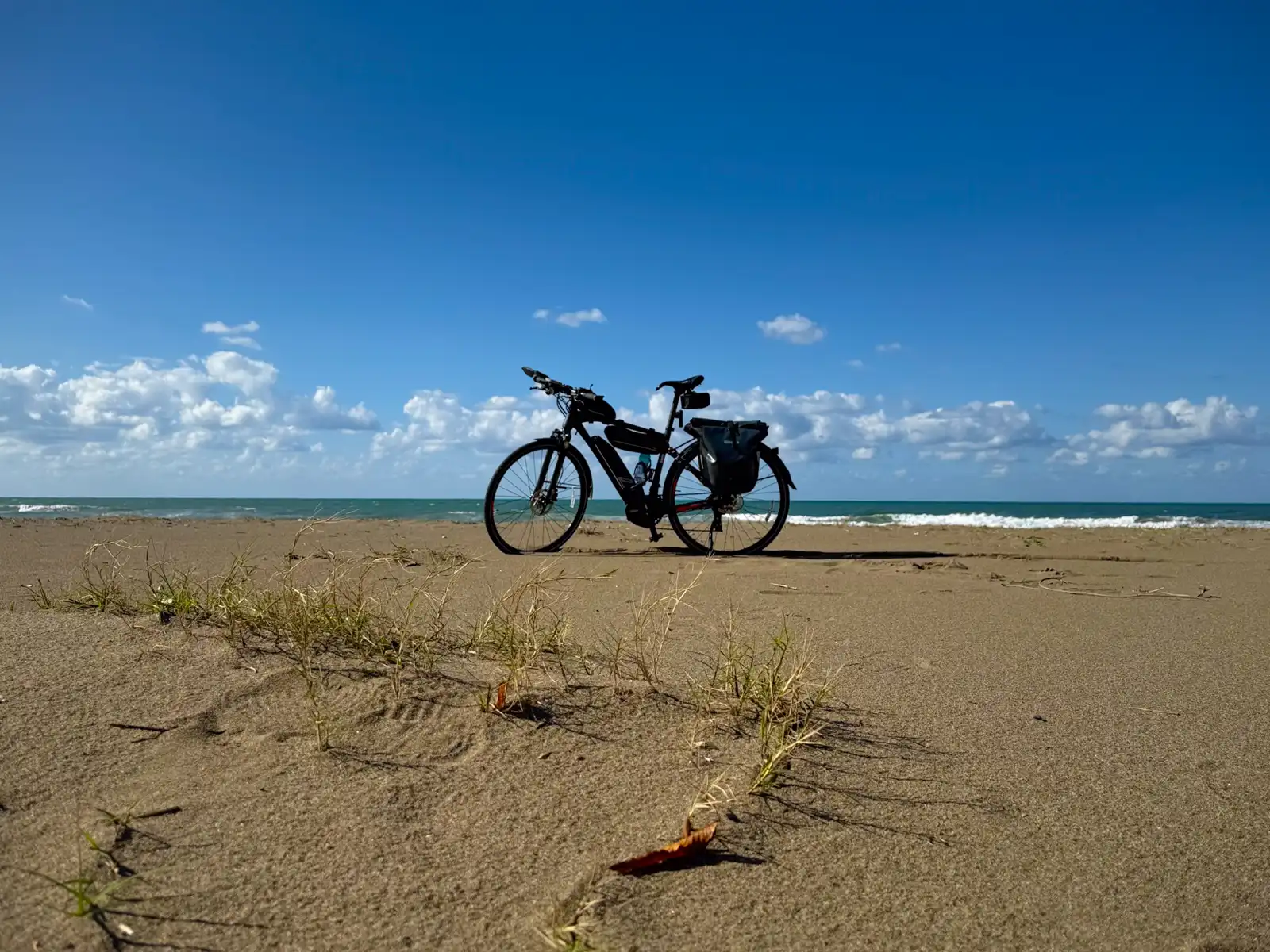
I’ll write a separate post about each of those, I promise. In my Kanazawa article I said I’d write about this whole trip day by day, so this one is Day One. To do that properly, though, we need to go back to the start, to a sunny mid-October morning in Tokyo, with 125 kilometers to go until my destination for the night, and the Beast all packed and ready by the door.
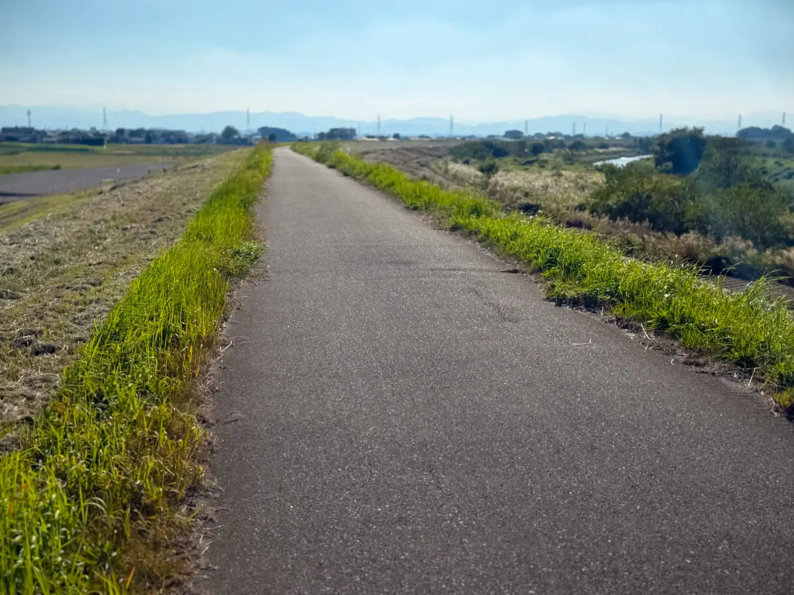
I left Tokyo heading north through Kawaguchi in Saitama, and soon I was on the road I’d stay on for a good part of the day, the Midori no Healthy Road, or Green Healthy Road. It’s a walking and cycling path about 56 (!) kilometers long that goes all the way from Kawaguchi up to Gyoda, where it ends at the Tone River. It really does feel endless. One minute you’re riding between open fields, then you’re squeezing past houses and backyards in some quiet suburb (I felt like I was almost trespassing), and then you’re back in the fields again. For most of the way there’s a narrow strip of water right next to the path, with lots of greenery on both banks. For the first hour or so, I just thought it was some small, unimportant river.
Turns out it isn’t. It’s a canal called the Minuma Daiyosui, and like a lot of things in Japan, it’s been around for almost three hundred years. Back in the 1720s, the shogun Tokugawa Yoshimune wanted more rice, mainly to help with the shogunate’s money problems, so he had a big old reservoir called Minuma drained and turned into rice paddies. Of course, those paddies still needed water. So an engineer named Izawa Yasobei Tamenaga, who came from Yoshimune’s home domain of Kii, dug a channel to bring water all the way from the Tone River. It took about half a year, and the canal was done in 1728. The name makes a lot of sense, because daiyosui basically means “replacement water,” as in the water that replaced Minuma. Today it’s known as one of Japan’s three great agricultural canals. It still supplies water to more than 10,000 hectares of farmland in eastern Saitama, and in 2019 it was added to the list of World Heritage Irrigation Structures. Some of its water even ends up in taps in Saitama and Tokyo. So yes, I spent a big part of my day riding along a shogun’s irrigation ditch, and to be honest, it’s the nicest ditch I’ve ever followed.
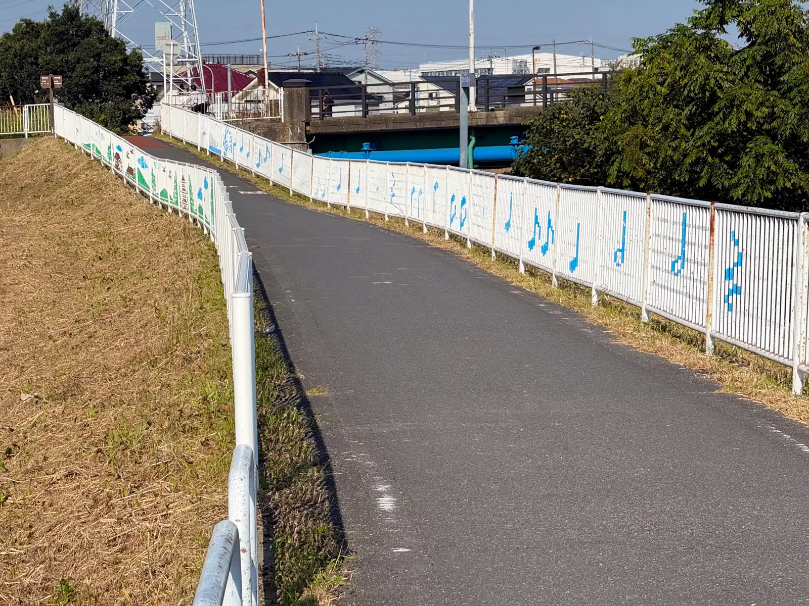
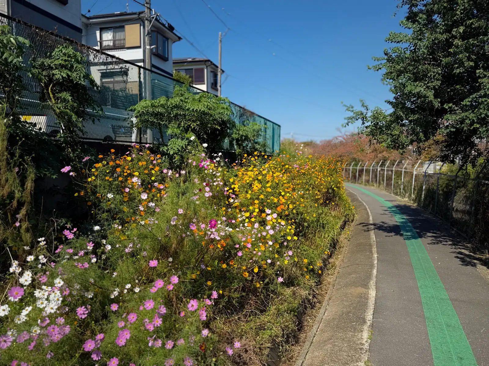
The path is also flat. Really flat, the whole way, which is just what you want on the first day of a long trip, when your legs are still figuring out what they signed up for. The weather helped too. It was sunny and so warm that it felt like summer had come back for a quick visit. And cosmos were blooming all along the path, pink, white and orange ones, growing in every patch of ground nobody had gotten around to mowing.
At noon I had lunch at Gusto, the family restaurant chain, in a place called Kisai, somewhere between Kuki and Gyoda. I’m not going to tell you what I ordered. After a whole morning on something called the Healthy Road, I’d like to keep a bit of my dignity. A little while after lunch, the Green Healthy Road ended in Gyoda, right on the bank of the Tone River, at the exact spot where the canal gets its water from the river.
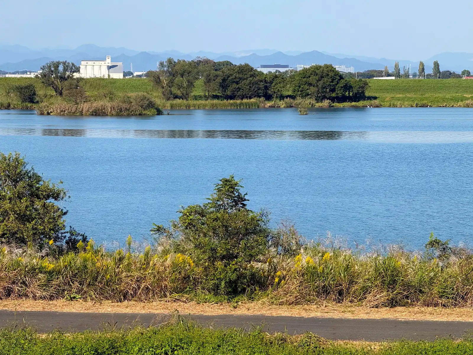
From Gyoda (no, not Gyoza!) I headed upstream along the Tone, mostly on the roads along the top of the levees, with the river on one side and fields going on as far as I could see on the other. Every so often the river got really wide and looked more like a lake, very calm and very blue, with faint mountains far off on the horizon.
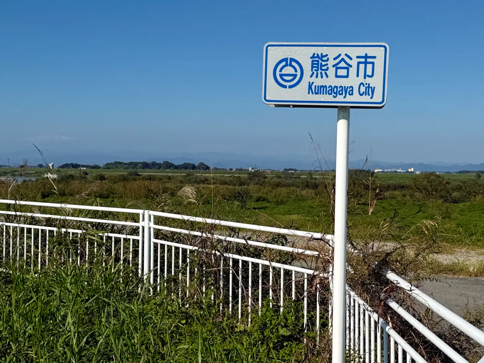
Soon I reached Kumagaya. If you’ve heard the name before, it’s probably because of the heat. In July 2018, Kumagaya recorded 41.1°C, which was the highest temperature ever measured in Japan at the time, and since then the city has been known as one of the hottest places in the country. It finally lost the record in 2025 to Isesaki, just across the river in Gunma, which hit 41.8°C, so the title didn’t go very far. One of the reasons I chose autumn for this trip was to avoid that kind of heat. Even so, it was warm enough that I kept forgetting it was October.
Out on the cycling roads through all those fields, my only company for long stretches was… grasshoppers! Japanese grasshoppers are surprisingly big, some brownish and some green, and they have a habit that I can only describe as a test of nerves. They sit in the middle of the path without moving, just waiting. Then, at the very last second, when you’re sure you’re going to run one over, they shoot off to the side. Every single time. I lost count of how many times I played this game that afternoon, and I’m happy to say I didn’t run over a single one.
The last town on the Saitama side was Kamisato, which ends at the Kanna River, the border with Gunma. Right by the crossing, at the Kannagawa Bridge South intersection, there’s a gravel plant that looks like a giant started building it and gave up halfway, with rusty conveyor belts and steel towers leaning on each other and a big “Safety First” sign hanging in the middle.
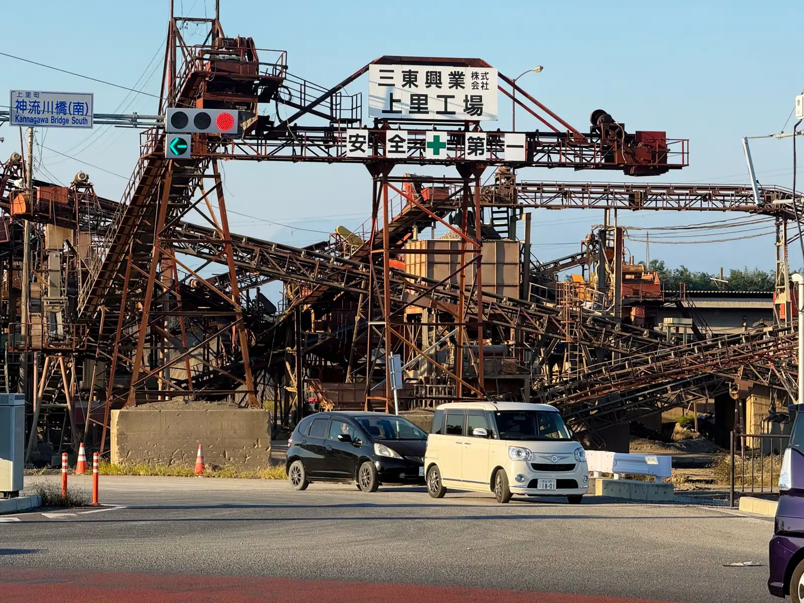
It’s a quiet place today, but this crossing was actually once a battlefield. In 1582, about two weeks after Oda Nobunaga was killed at Honno-ji in Kyoto, his general Takigawa Kazumasu, who was in charge of the province of Kozuke (roughly today’s Gunma), fought the army of the Hojo clan right here by the Kanna River. It’s said to be the biggest field battle in the whole Kanto region during the Sengoku period. Takigawa lost badly, gave up the province and went all the way back to Ise. I found it a strange coincidence. A few days later I’d be walking through a town in Fukui that Nobunaga’s army had burned down, and here, on my very first day, I was riding past the spot where his army lost nine years later. If you travel around Japan long enough, you start to notice that the history of one place keeps popping up in another, even when they’re hundreds of kilometers apart.
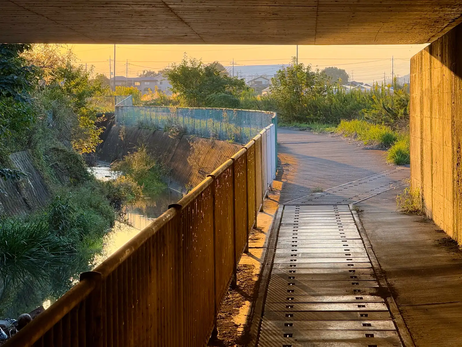
When I got close to the border, the sun was starting to set and everything turned golden. For the last hour or so I kept stopping to take photos, which isn’t the best idea when you’re trying to get to your hotel before dark. But I just couldn’t help it.
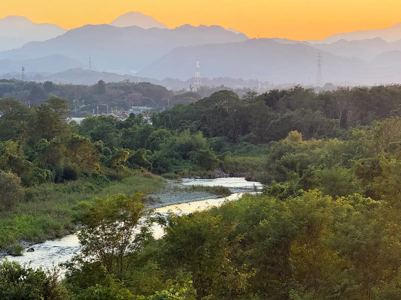
At one point the road went over a river, and I stopped on the bridge for a while. The water below was winding over pale stones and catching the last bit of light. Behind it the hills stood in layers, each one a little paler and hazier than the one in front, until the last ones faded into the orange sky. Of course there were power lines and pylons all over the view, because this is Japan, but somehow even they looked nice in that light.
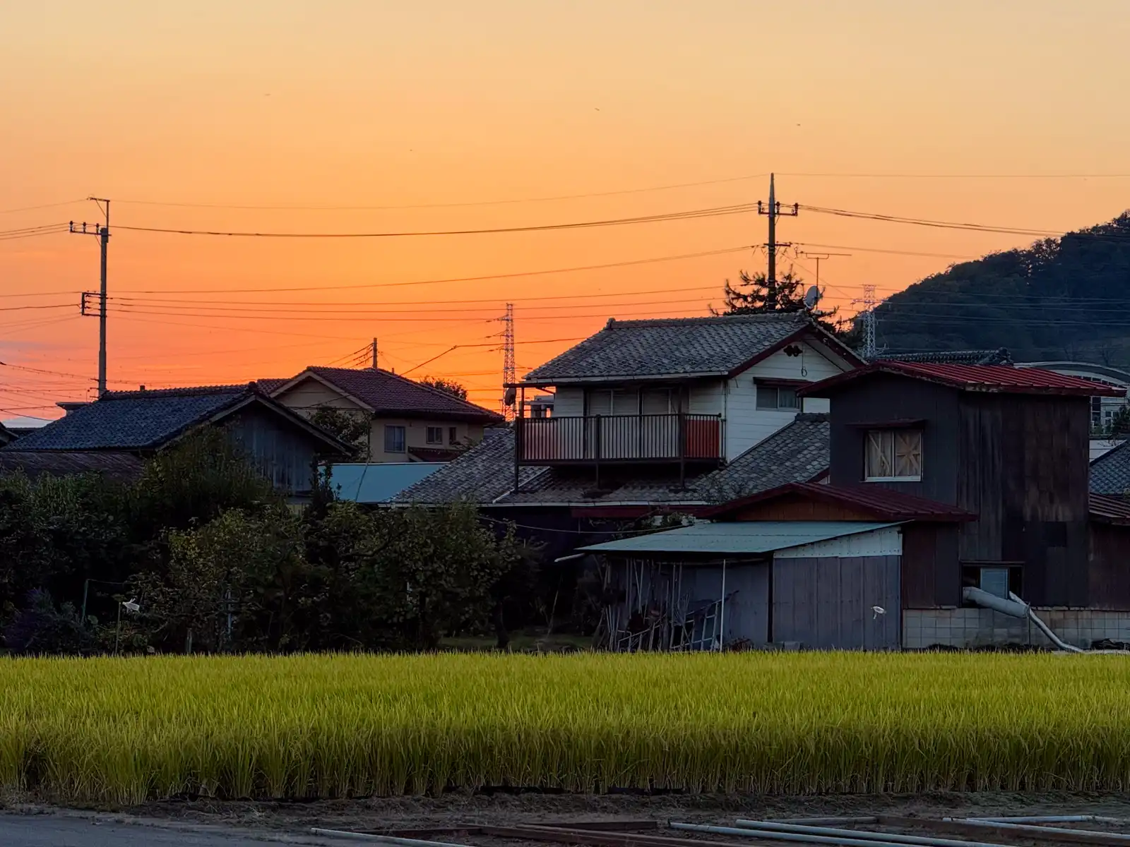
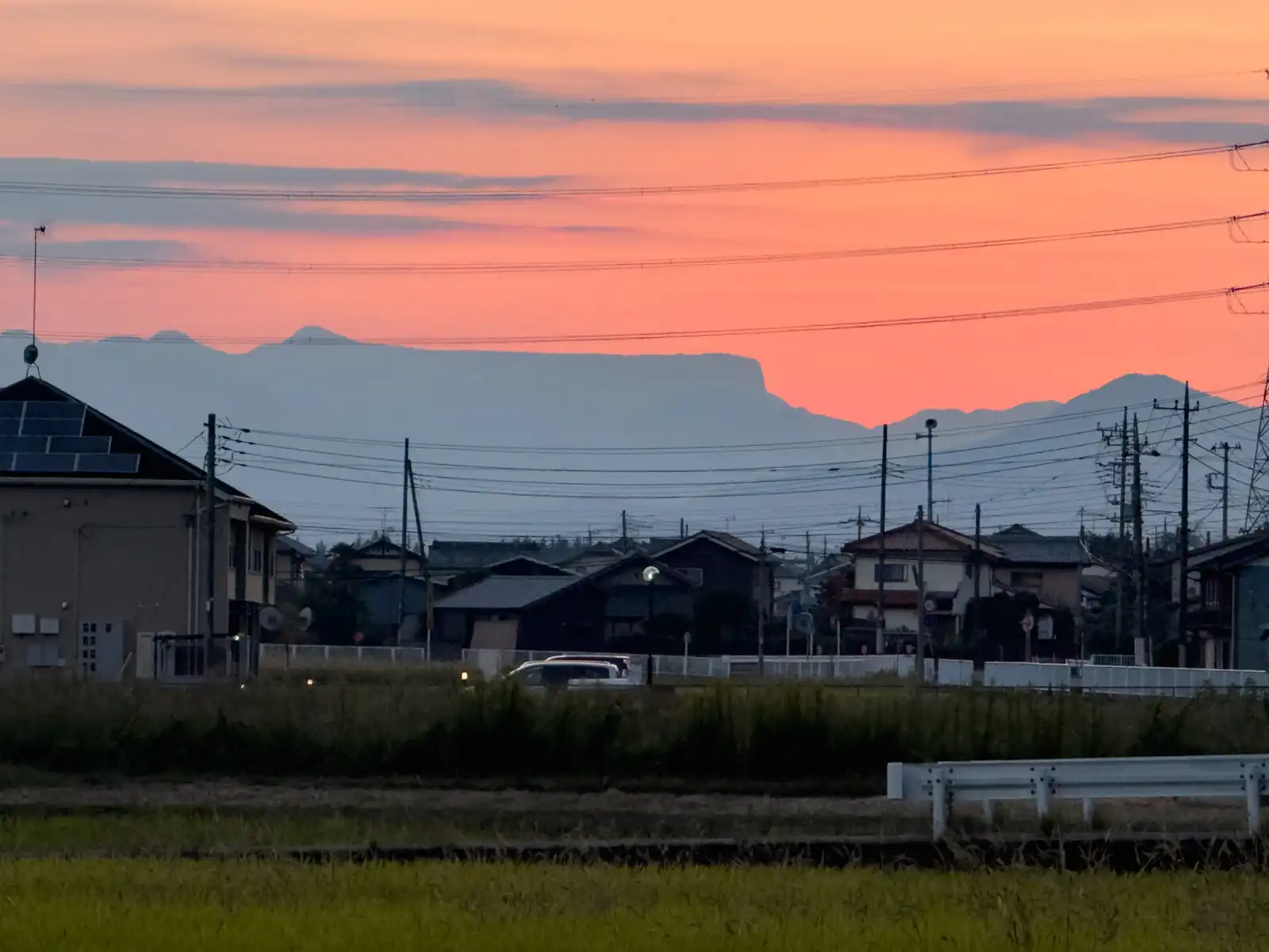
Soon the whole sky turned orange behind a row of old farmhouses with heavy tiled roofs, with a golden field of rice in front of them, ready for harvest. To the west, there was one more mountain worth stopping for. Arafuneyama has a top so flat it looks like someone cut it off with a knife. The name means something like “ship on rough seas,” because the long, flat ridge with a steep cliff at one end really does look like a ship going through waves. The rock at its northern end is even called Tomoiwa, the stern rock. It’s 1,423 meters tall and stands on the border between Gunma and Nagano. On the Nagano side people have long called it Toyama, the whetstone mountain, and I think that’s a pretty good description too.
I was staying the night at HOTEL R9 The Yard in Kanra, a small town in southwestern Gunma right next to Tomioka. It’s a container hotel, so each room is its own separate container, all lined up in rows like a very neat freight yard. But about three kilometers before I got there, Komoot, the app I use to plan my routes, decided to get creative. It took me off the road onto a narrow track through some woods, then down toward a river and onto loose gravel. By then it was already completely dark. I kept going anyway, because I thought it had to be some clever shortcut only the app knew about. It wasn’t. The gravel just stopped at a construction site, and there was no way through, not on foot and definitely not with a loaded e-bike. So there I was, next to a river in the pitch dark, turning the Beast around on loose stones and feeling more than a little silly.
I went back the way I came and found a proper road, which had been pretty close the whole time, and it took me straight to the hotel. It’s funny how these apps try so hard to find you a shorter or quieter way, and then send you down a path that’s right next to where you want to go but doesn’t actually get you there. So if you plan your rides with an app, keep half an eye on the real map, especially after dark. Oh, and make sure your phone still has enough juice left.
I parked the Beast right in front of my container and put a cover over it. The nights were already getting chilly, and with so much moisture in the air, I knew it would be wet with mist by morning. 125 kilometers done, almost all of them flat, so as first days go, it was a pretty easy warm-up. My legs were fine, the Beast was tucked in for the night, and nobody got hurt along the way, not even a single grasshopper.
Get notified when there's a new article
I'll send you an email with a link each time I publish a new article. I'll also write if there's important news about the site.
Comments
No comments yet. You can write the first one below.