Tokyo to Fukui by E-Bike, Day 2: Over the Usui Pass to Karuizawa and Komoro
The second day of my ride to Fukui was only 62 kilometers long, but a good chunk of it went straight up into the mountains. Along the way there were 184 curves, a railway bridge built from roughly two million bricks, a well-earned burger in Karuizawa, and a lookout where you can stand in Gunma and Nagano at the same time. Komoot, of course, saved one last surprise for the end.
I left the container hotel in Kanra at around 8:30 in the morning, a bit later than I’d planned. I wasn’t too worried, though. Compared to the 125 kilometers of the first day, Day Two looked almost like a rest day, at least on paper, with only 62 kilometers to my hotel in Komoro, over in Nagano. The tricky part was the elevation. Somewhere in the middle of those 62 kilometers, the Beast and I, plus my two panniers, had to get over the mountains between Gunma and Nagano, and just from looking at the map I could tell some of those hills were going to be pretty steep.
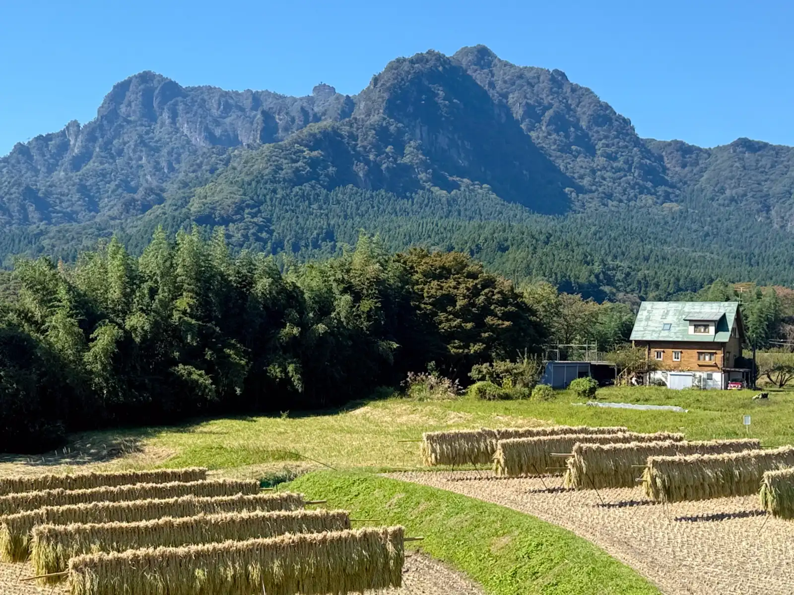
Riding west out of Kanra, I started seeing the mountains ahead of me almost right away, and they looked nothing like the soft, rounded hills I’d seen on the horizon the day before. These were sharp and jagged, with zigzag ridges, pretty much what a kid would draw if you asked for “scary mountains.” That was Mount Myogi. Technically, Myogi isn’t one mountain but a whole group of rocky peaks, and the highest of them, Somadake, is 1,104 meters tall. They’re what’s left from volcanic activity some four to six million years ago, and wind and rain have been wearing down the rock ever since, which is why they look so rough. Myogi is counted as one of Japan’s three most unusual landscapes, along with Yabakei in Oita and Kankakei on Shodoshima. It’s also one of the Jomo Sanzan, Gunma’s three famous mountains, together with Akagi and Haruna.
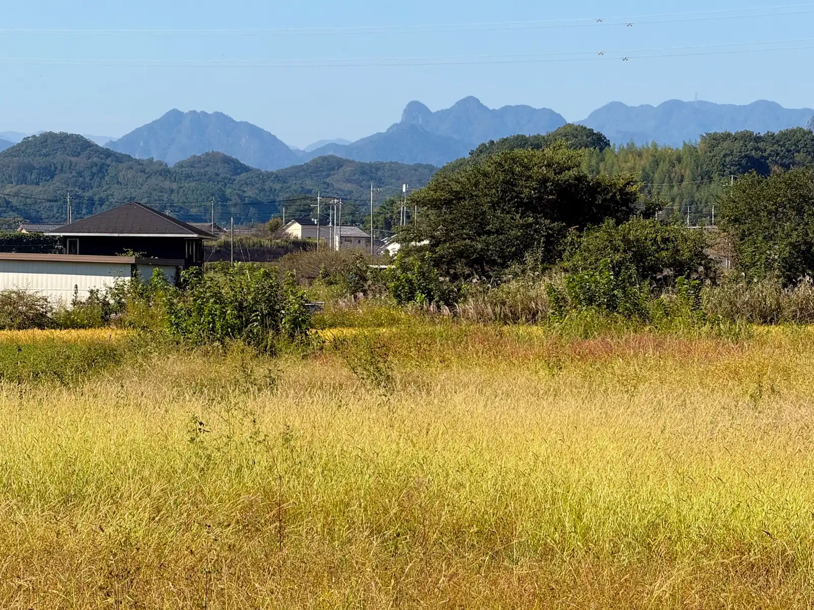
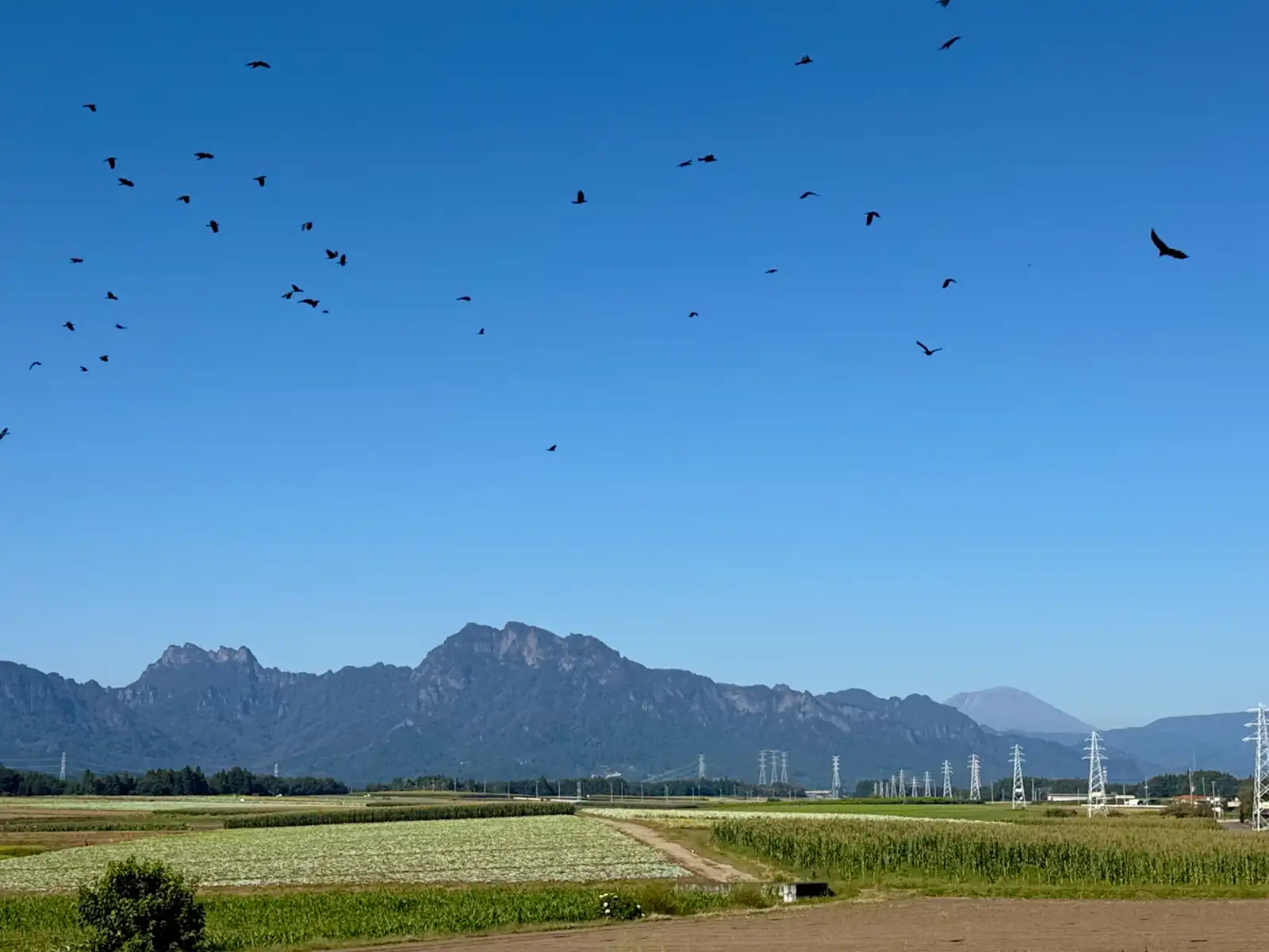
The closer I got to the mountains, the more rural everything became. Most of the rice was already harvested, and in some fields it was hung up on long wooden racks to dry in the sun. This is called hazakake (or hasagake, depending on the region), the old way of drying rice from the days before combine harvesters and drying machines did most of the work. You don’t see it nearly as much as you used to. People say rice dried like this tastes better. I didn’t get to try any, sadly, but I can confirm it definitely looks better.
After Yokokawa, where the train line from Takasaki now just ends, the road started going up toward the forest, and it kept going up for a long time. This is the old National Route 18 over the Usui Pass. It was the main road between Gunma and Nagano until 1971, when the Usui Bypass opened a few kilometers to the south and took most of the traffic. The old road is known for its curves. There are 184 of them in about ten kilometers, and every one has a number, so if you really want to, you can count exactly how much pain is still ahead of you. Funny enough, all those hairpins are what make the climb manageable on a bike. Since the road keeps zigzagging back and forth instead of going straight up, you don’t really feel how steep it is. It was steep, though, no doubt about it. I put the Beast in a low gear, and on the worst parts I switched the motor to its highest assist level and let it do its job. Luckily most of the road goes through the forest, so I was in the shade for a lot of the climb. That helped more than you’d think, because it was a sunny day and about 26°C, which is pretty warm for mid-October. There were also more cars than I expected, probably because it was a three-day weekend.
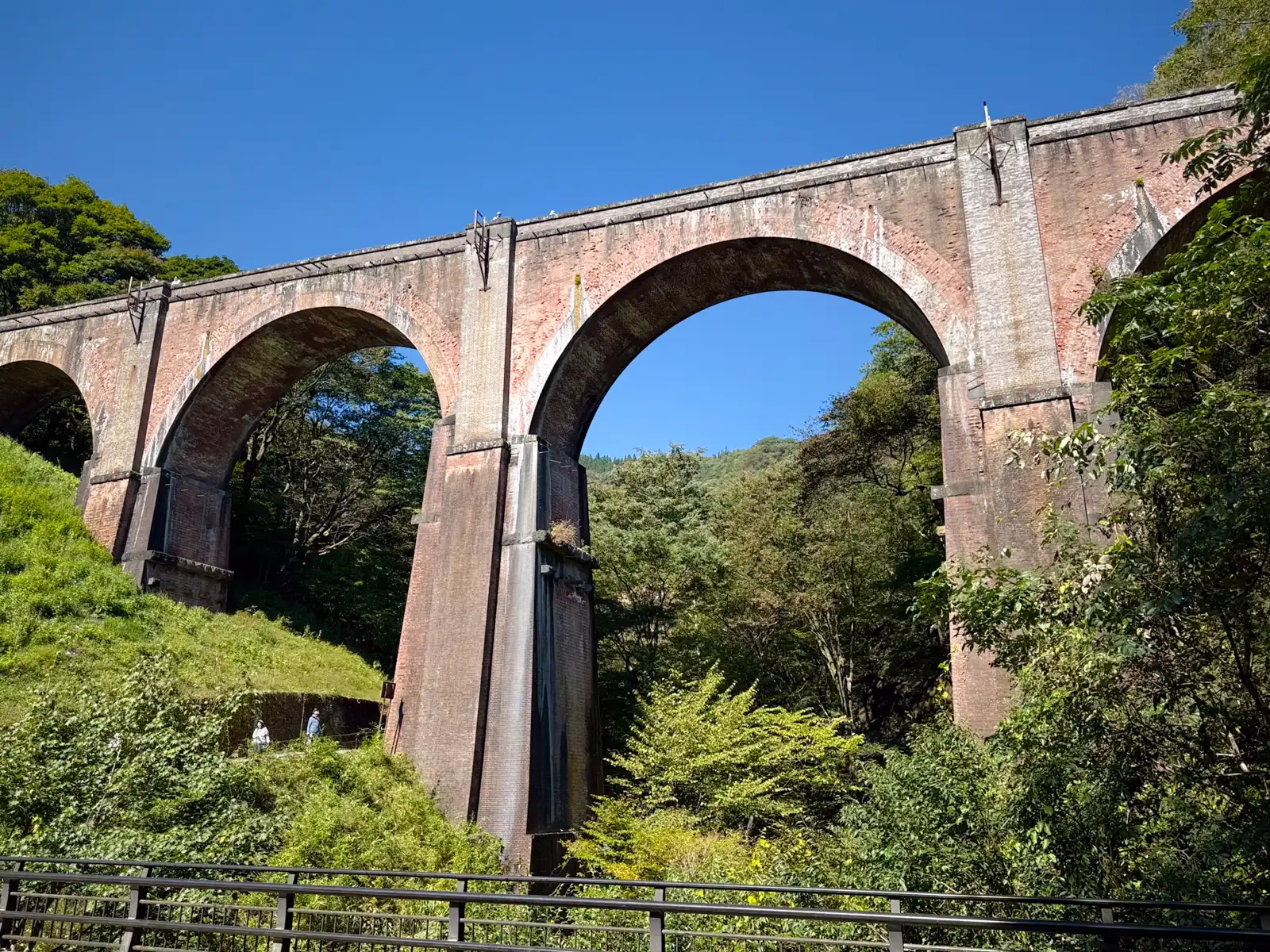
About halfway up, the forest opens up and you see it, a huge red-brick bridge with four tall arches high above the valley. Everyone calls it Megane-bashi, the Eyeglasses Bridge, because the arches look like a pair of glasses (well, two pairs). The official name is a lot less fun, Usui Daisan Kyoryo, which simply means the Third Usui Bridge. It was finished in 1892, it’s 91 meters long and 31 meters high, and it’s made of about two million bricks, which makes it the largest brick bridge still standing in Japan. I’d read that number somewhere before the trip and wasn’t really sure I believed it, but after standing under it, I’m not going to argue.
It’s actually a railway bridge, not a road bridge. It was part of the old Shin’etsu Line between Yokokawa and Karuizawa, a section that had to climb more than 500 meters through the mountains. In some places the gradient was 66.7 per mil, so the track went up almost 67 meters for every kilometer, the steepest on Japan’s old national railways. Regular trains couldn’t handle that, so the line used the Abt system, with a toothed rack rail between the tracks and a cogwheel under the locomotive that gripped it and pulled the train up. Besides passengers, the line also carried raw silk from the Tomioka Silk Mill, not far from where I’d slept the night before. In 1963 a new line took over and the bridge was retired, and in 1997 the whole section between Yokokawa and Karuizawa closed for good when the Nagano Shinkansen opened. Today the old railbed is a walking trail called the Abt Road, and you can walk right across the top of the bridge. A lot of people had stopped by the road to take pictures, and I could see a few tiny figures walking around up there. To get on top, you have to walk up a short path from the road. I didn’t really have time for that, so I took my photos from below, stared up at it for a while, and got back on the bike.
After the bridge the road got steep again and stayed that way until I was at around 960 meters. Then, pretty much out of nowhere, it just flattened out. One minute I was grinding uphill through the forest, the next I was riding along peaceful, flat streets lined with trees, and before I knew it, I was in Karuizawa. The Usui Pass is what’s called a katatoge in Japanese, a one-sided pass, very steep on the Gunma side and almost flat on the Nagano side.
I stopped at an intersection near the station, and right next to the road was a big pond full of lily pads, with a small island in the middle, a round green hill behind it and, peeking out on the right, the bare grey top of Mount Asama. This is Yagasaki Park, a town park just a few minutes from Karuizawa Station, and it’s known for exactly this view of Hanareyama and Asama together across the water. I was lucky with the weather, too.
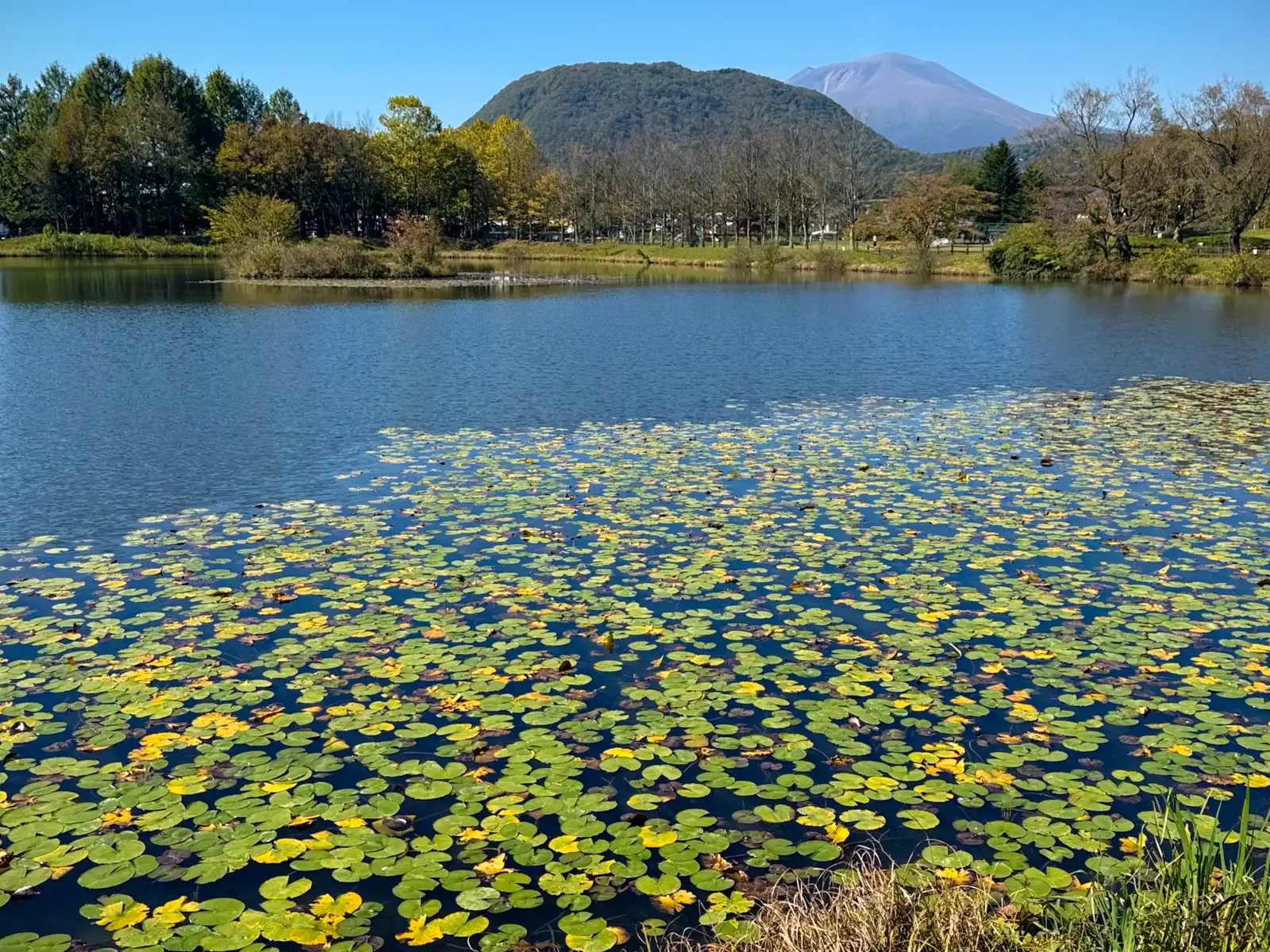
Seeing Asama there reminded me of In Lotus-Land Japan, a book by the English photographer Herbert G. Ponting that I really like, published in 1910. Ponting traveled around Japan several times in the early 1900s, a few years before he went off to photograph Captain Scott’s expedition to Antarctica, and he called Aso in Kyushu and Asama the two finest active volcanoes in the country. He wasn’t very impressed with Asama’s personality, though. Aso, he wrote, was a “good-natured, even-tempered volcano,” but “Asama is a fretful and irritable mountain, subject to violent outbursts that are over in a moment.” More than a hundred years later, that’s still pretty accurate. Asama is very much active, its last small eruption was in 2019, and it’s monitored around the clock. That afternoon it was calm and sunny, though, and the quiet grey peak behind the pond didn’t look like it had a temper at all.
I was still standing by the pond when, at exactly twelve o’clock, music started drifting out of the town’s loudspeakers nearby. A lot of towns in Japan play a short melody like this at set times of the day. It goes out over the emergency broadcast system, partly as a daily check that the speakers still work. To me, though, it felt like Karuizawa was welcoming me to town, and also gently reminding me that it was lunchtime.
From there I rode past the station to the south side, where the huge Karuizawa Prince Shopping Plaza outlet mall is, and had lunch at Kua ‘Aina, the Hawaiian burger place. I went for an avocado burger with a pile of thin, crispy fries on the side. After spending the whole morning climbing, I figured a big burger wasn’t just allowed, it was practically medically necessary.
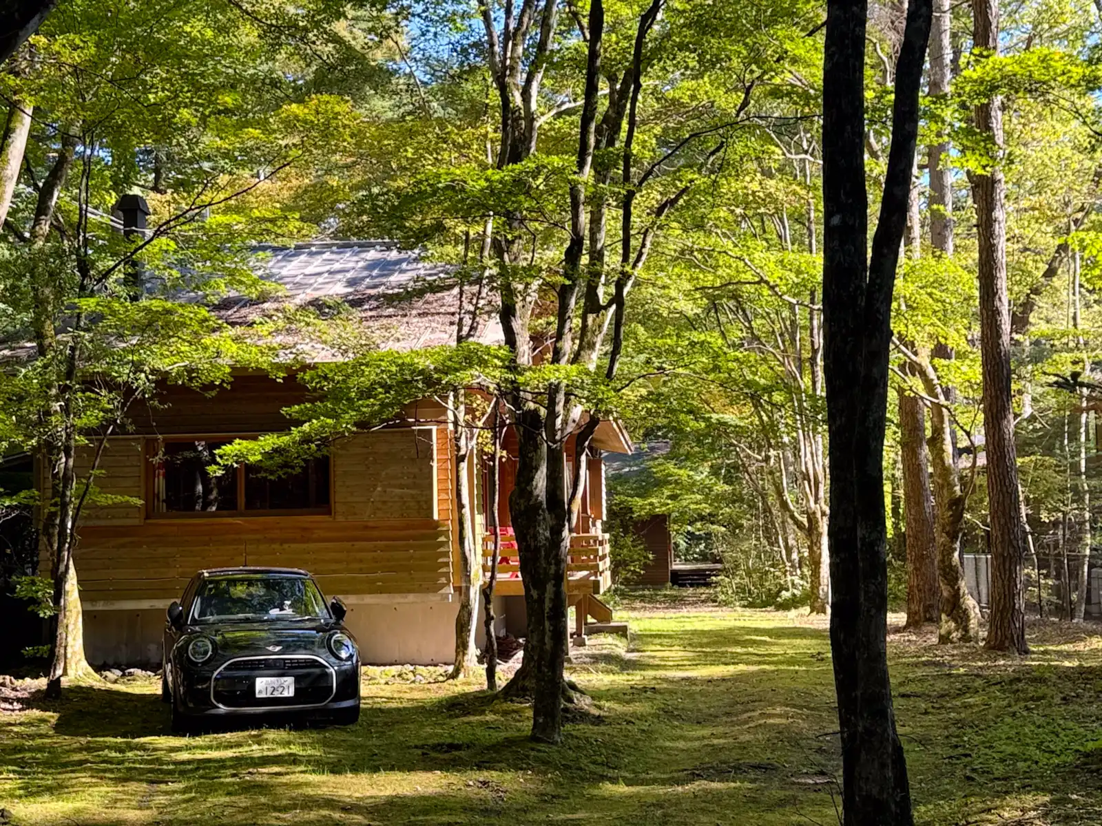
Since I was ahead of schedule, I gave myself a little side quest I’d been hoping to fit in, the Usui Pass. Wait, didn’t I just ride over it? Well, kind of. The road with the 184 curves goes over what is, historically speaking, the new Usui Pass, opened in the 1880s. The original pass, the one the Nakasendo highway used in the Edo period, is a few kilometers away, up a narrow forest road from the old center of Karuizawa. On the way up I rode past some of Karuizawa’s famous villas. It’s a really nice town, and also, to be honest, a very rich one. The houses aren’t squeezed together like they are almost everywhere else in Japan. Each one has its own big plot, many of them tucked away among the trees, and it seems like no two look the same. A lot of them are wooden, with steep, pointy roofs that give the whole town a mountain feel, and it’s not only the houses. Shops and community buildings mostly follow the same style.
None of this is an accident. Karuizawa started out as a resort in 1886, when a Canadian-born missionary named Alexander Croft Shaw passed through, loved the cool mountain air and called the place a hospital without a roof. Two years later he built the first summer villa here, and other foreigners living in Japan soon followed. Today the town has more than 16,000 villas. Since 1972 Karuizawa has had its own strict rules to protect its nature, and on many plots a house can only cover about a fifth of the land, which is why everything feels so spacious. William Merrell Vories, who you might remember from my Omihachiman article, also spent his summers here and designed quite a few buildings in town, including the Karuizawa Union Church.
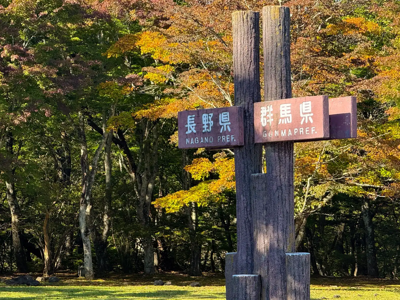
The road up to the old pass is only about 3.5 kilometers long, but wow, is it steep. The lookout at the top is at around 1,200 meters, so you climb about 250 meters in a very short distance. Was it worth it? Absolutely. The lookout is right on the border between Nagano and Gunma, and there’s a big signpost there with Nagano on one side and Gunma on the other, so you can literally step from one prefecture into the other. Of course I did. More than once. Just a few steps away is Kumano Kotai Shrine, which also sits right on the border, with the line between the two prefectures running straight through its grounds.
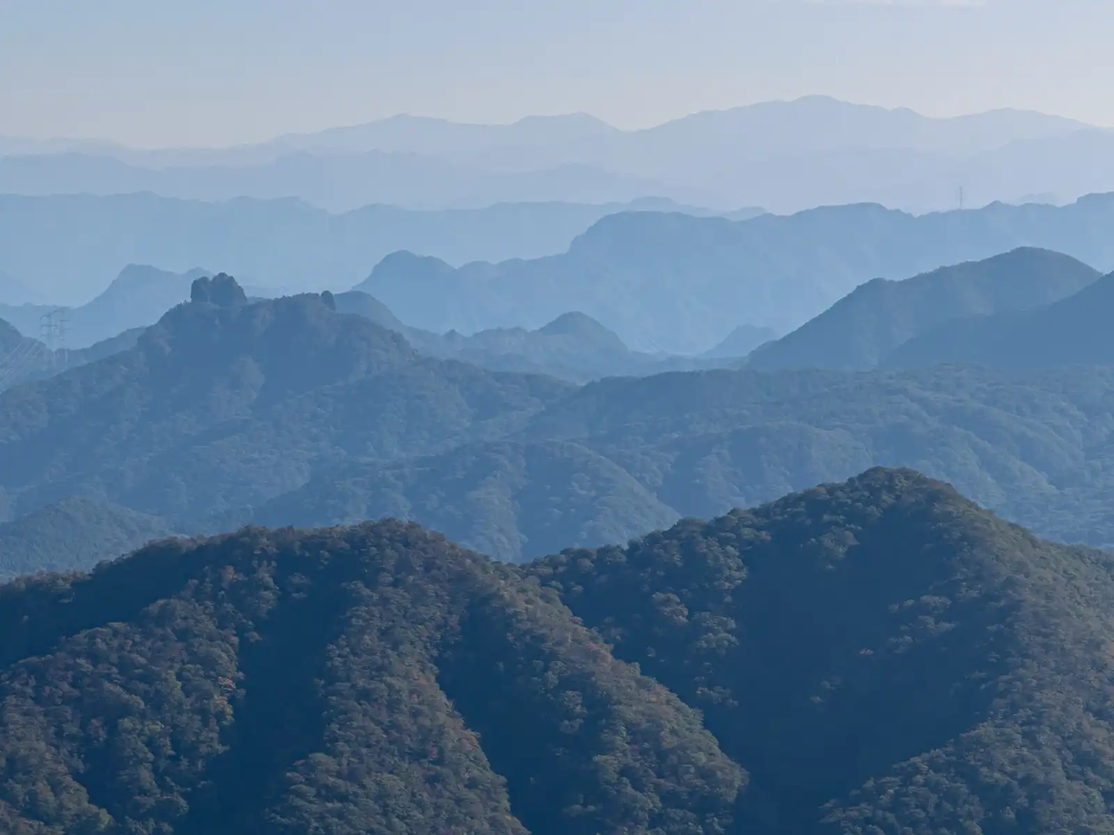
The view from up there is impressive. Looking east, you see layer after layer of mountains, each one a little paler and bluer than the one in front, until the last ones just disappear into the sky. On a clear day you’re supposed to be able to see all the way to the Yatsugatake mountains and the Southern Alps. Karuizawa’s foreign summer residents a hundred-odd years ago liked this spot so much that they gave it an English name, Sunset Point.
There’s also a very old and kind of sad story connected to this pass. According to the Nihon Shoki, one of Japan’s oldest chronicles, the legendary prince Yamato Takeru stopped here on his way home from his battles in the east and looked back toward the sea where his wife, Princess Ototachibana, had thrown herself into the waves to calm a storm and save his ship. He sighed “Azuma haya,” meaning something like “oh, my wife,” and that’s said to be how eastern Japan got its old name, Azuma. The Kojiki, the other big old chronicle, puts the same scene at Ashigara Pass instead, and the Usui in the story might even have been a different crossing a bit further south, so nobody really knows where it happened, or if it happened at all. Still, standing up there and looking east over all those ridges, it’s not hard to imagine someone missing somebody very much.
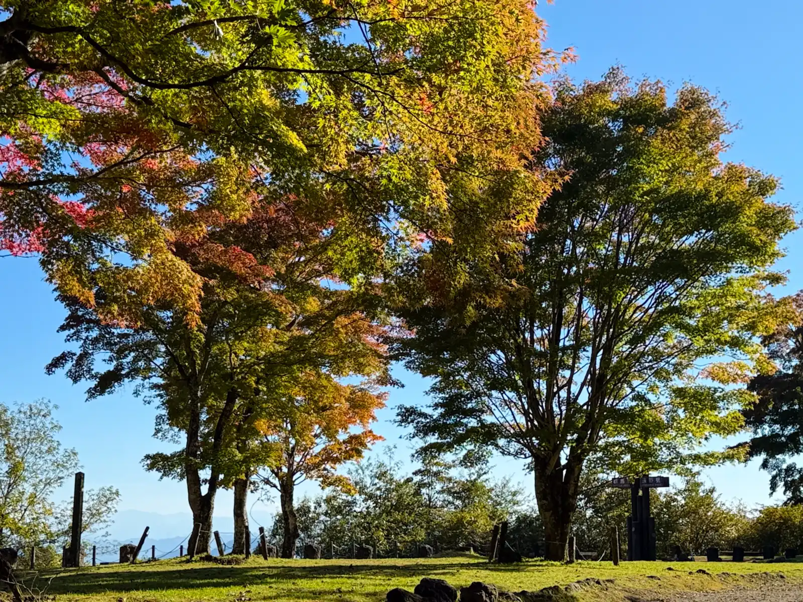
Going back down was when I really understood how steep that road was. I had my brakes squeezed pretty much the entire way. Climbing a hill like that is hard work, but at least you feel in control. Going down, you mostly just hold on and hope your brake pads are in a good mood.
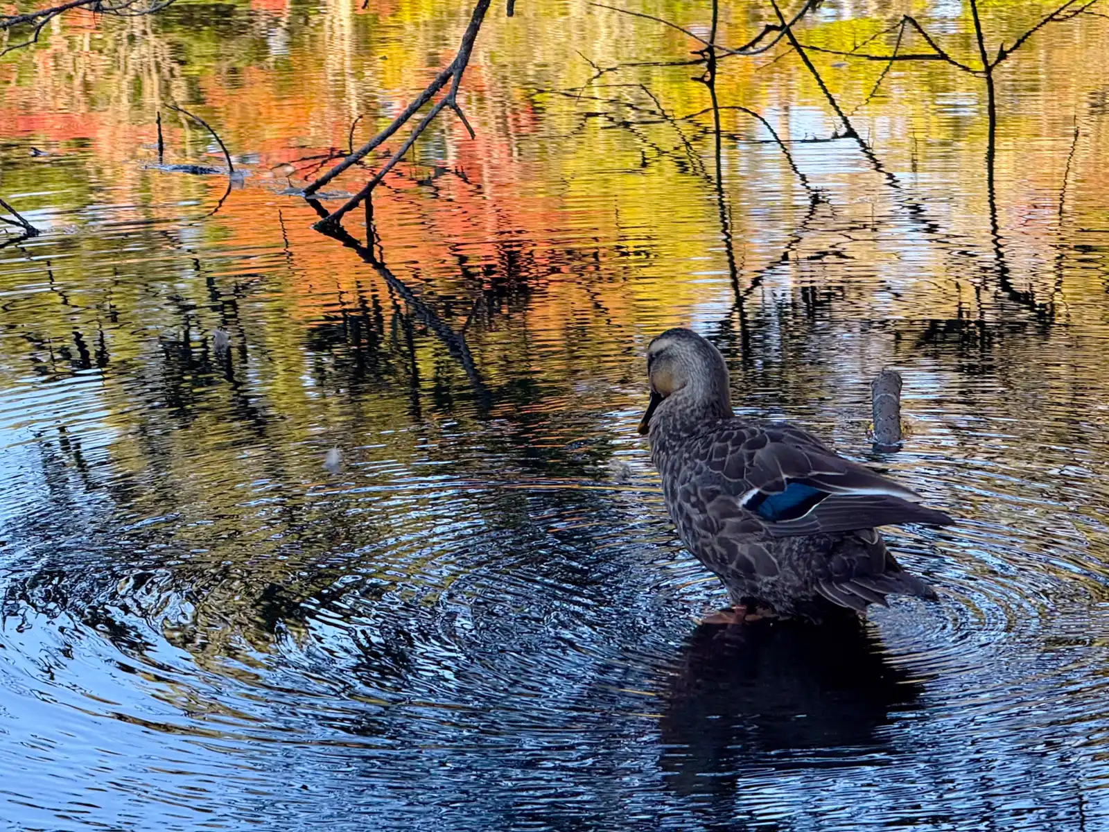
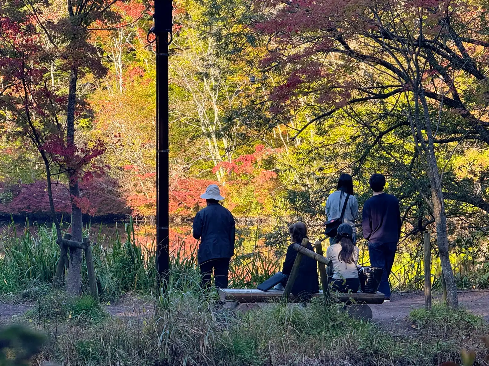
At the bottom I made a quick detour to Kumoba Pond, which I’d been to a couple of times before. It’s one of the best-known spots in Karuizawa, a long, narrow pond in the woods fed by a stream that starts at a spring called Gozensui. The spring got its name in 1878, when its water was used for the meals of Emperor Meiji during his stay in Karuizawa. The early foreign residents called the pond Swan Lake, because swans used to come here in winter. The autumn leaves here usually peak in late October and early November, so I was a bit early, but quite a few of the maples had already turned. Back in Tokyo, the trees were still stubbornly green. Red and orange maples were reflected in the water, and right in the middle of all those colors, a duck was standing in the shallows, busy preening itself and not bothered by the crowd at all. I kept taking pictures, trying to catch a moment when its beak wasn’t buried in its feathers so you could actually see its head. Ducks, as it turns out, are not very cooperative models. The path around the pond was pretty crowded too, since it was a long weekend. I’d have loved to walk around the whole pond, which only takes fifteen or twenty minutes, but I still had more riding to do, so I took my pictures and headed back toward the station.
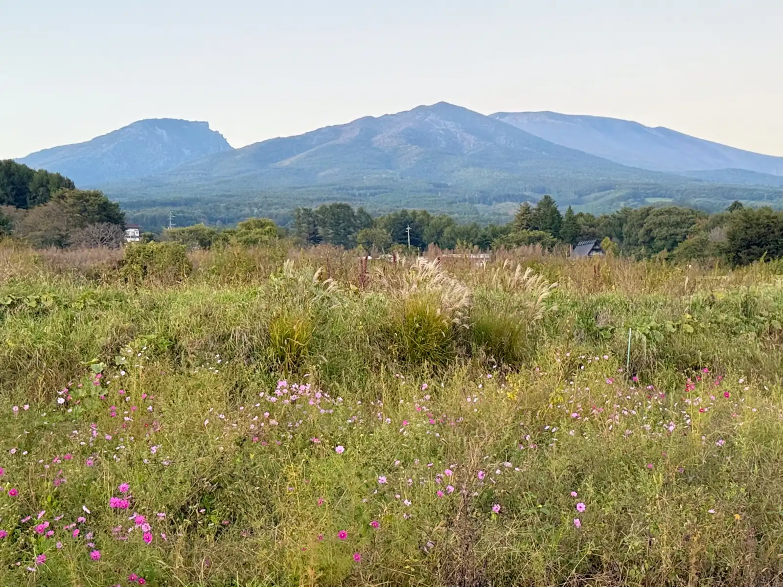
From the station I headed west toward Komoro, about 22 kilometers away. Because of the long weekend, the road was full of cars, slowly crawling along one after another. One of the little joys of traveling by bike is passing a long line of cars stuck in traffic, and I’ll admit I enjoyed it a bit more than I probably should have. By then the sun was getting low, the mountains to the north looked soft and hazy, and the fields by the road were full of pink cosmos and silvery susuki grass moving in the wind.
During these first two days I’d crossed paths with the Hokuriku Shinkansen a few times, but never really saw it. It runs on viaducts or disappears into tunnels, and it doesn’t come nearly as often as the trains on the Tokaido Shinkansen, so mostly I just heard it rushing by somewhere nearby. Me against the shinkansen, the race goes on. To be fair, it has to get over the Usui Pass too. Between Annaka-Haruna and Karuizawa it climbs gradients of 30 per mil, which is very steep for a shinkansen line, and a train that skips Annaka-Haruna gets from Takasaki up to Karuizawa in about fifteen minutes. It took me the whole morning. Then again, I’d like to see the shinkansen stop for a burger.
About nine kilometers before the hotel, Komoot struck again. It took me off the main road into some neighborhood, where the route squeezed between a few houses until the asphalt ended and turned into gravel. I was already a bit suspicious by then, but I kept going. Then the gravel turned into rough, rocky ground heading straight into a forest, and I knew exactly how this was going to end. I still kept going a little longer, because apparently I never learn. To its credit, the Beast rolled over the gravel and sharp rocks without any complaints, and without a puncture, too. The track finally ended at a house with an excavator parked in front, and that was it. Two days, two dead ends. I turned around, went back to National Route 18, the normal road any sensible person would have taken in the first place, and stayed on it the rest of the way.
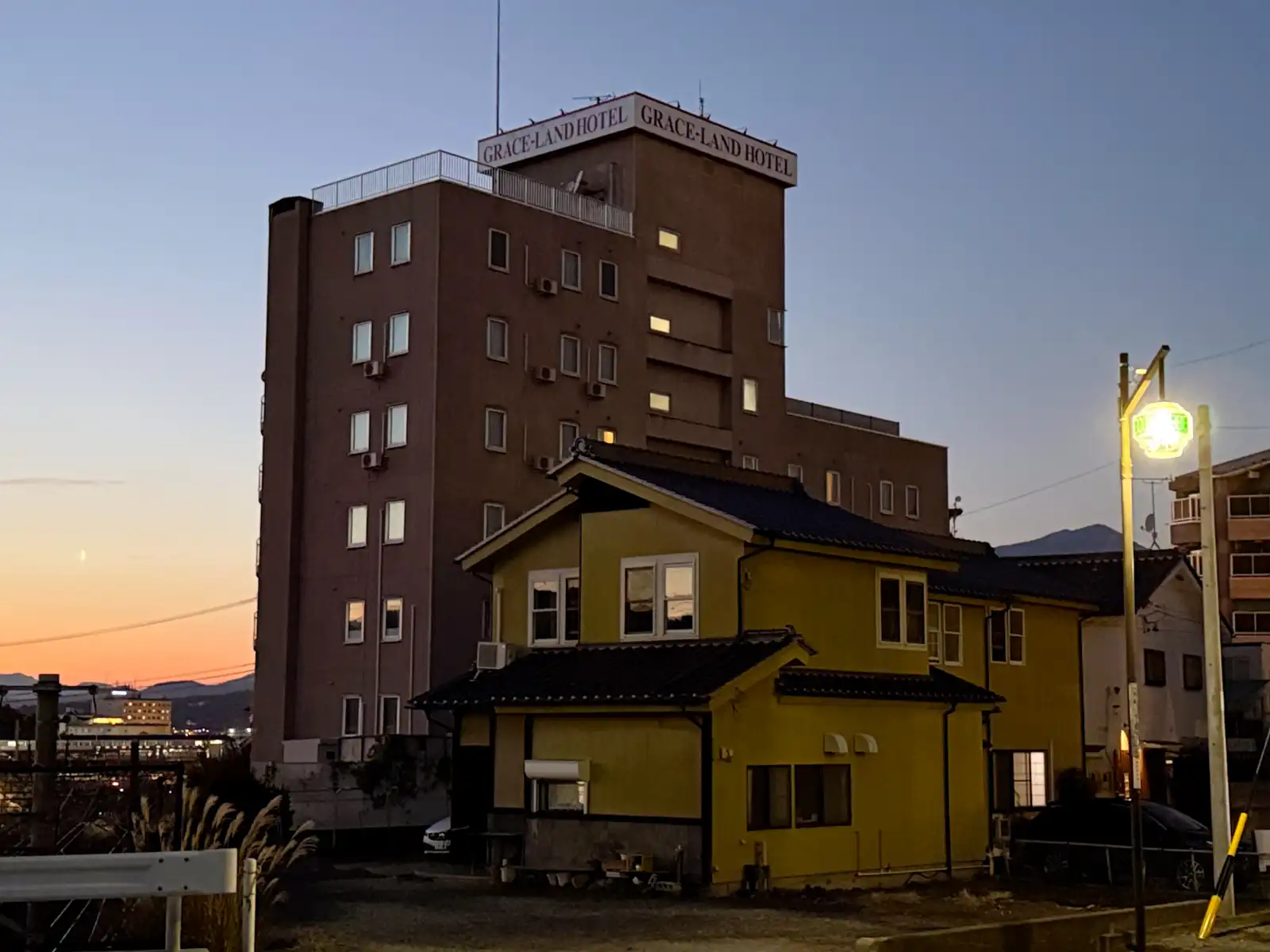
I made it to Komoro just before six. It was already getting dark, so I was glad I hadn’t wasted any more time in that forest. My bed for the night was at the Grace-Land Hotel. First a Hawaiian burger for lunch, now Grace-Land for the night. The day was slowly turning into an Elvis tribute tour, and all that was missing was Blue Hawaii playing in the background.
After dropping off my bags, I went over to the nearest supermarket, which happened to be a Tsuruya. If you’ve spent any time in this part of Nagano, you probably know the name. It’s a local chain that was founded right here in Komoro back in 1892, and its own-brand jams, juices and snacks are so popular that a lot of visitors use it as a souvenir shop. I grabbed some dinner and went back to my room, where a framed poster on the wall had a quote usually credited to the French poet Paul Valéry. “The best way to make your dreams come true is to wake up.” I really liked that one. Since I’d left later than planned that morning, it also felt a little personal, so I made a mental note to actually follow its advice the next day.
The rest of the evening I spent going over the route. Day Three was going to be another long one, about 92 kilometers, but roughly two thirds of it would be downhill. After 184 curves, a burger, and a mountain pass I climbed just for fun, I couldn’t wait. I love going downhill.
Elvis used to end his shows with the same few words, and after a day like this, they felt just right. Thank you. Thank you very much.
Get notified when there's a new article
I'll send you an email with a link each time I publish a new article. I'll also write if there's important news about the site.
Comments
No comments yet. You can write the first one below.